


abbaye de Haute Combes

meillon
User

Length
2 km

Max alt
555 m

Uphill gradient
0 m
Km-Effort
3 km

Min alt
254 m

Downhill gradient
297 m
Boucle
No
Creation date :
2025-07-09 08:21:54.004
Updated on :
2025-07-09 09:28:02.032
1h05
Difficulty : Medium

FREE GPS app for hiking
 SityTrail
IGN / Geographical institutes
SityTrail Plus
The world is yours!
About
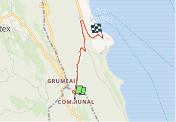
Trail Walking of 2 km to be discovered at Auvergne-Rhône-Alpes, Savoy, La Chapelle-du-Mont-du-Chat. This trail is proposed by meillon.
Description
du hameau du belvedere à l abbaye
Positioning
Country:
France
Region :
Auvergne-Rhône-Alpes
Department/Province :
Savoy
Municipality :
La Chapelle-du-Mont-du-Chat
Location:
Unknown
Start:(Dec)
Start:(UTM)
720432 ; 5069635 (31T) N.
Comments